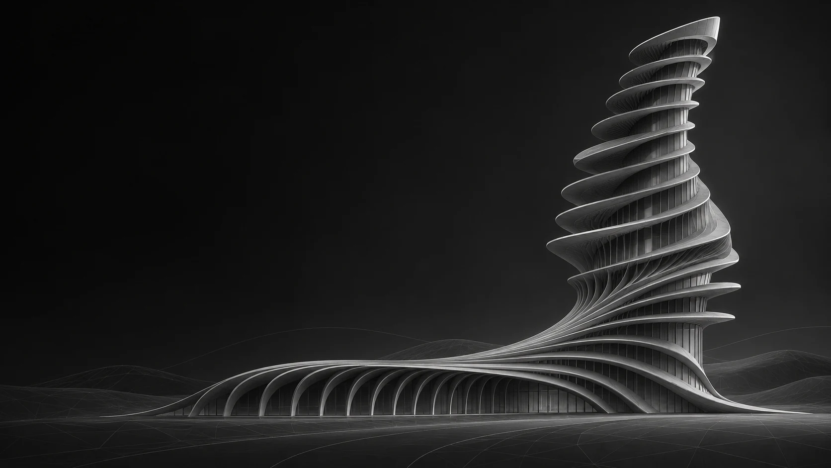
Give it shape.
Draw curves and outlines in plan. Move a vertex, change a parameter and see the result in 3D. You decide where to start.
What if you tried a different layout?
VECTORIA PARAMETRIC
Urban developments, roads and parametric forms. Draw in plan, change parameters or continue with your own ChatGPT or Claude.
Start with an example. Nothing to install.
YOU BRING THE IDEA
You do not have to work everything out at once. Build a starting point, try an alternative and continue from what you see.
Draw curves and outlines in plan. Move a vertex, change a parameter and see the result in 3D. You decide where to start.
What if you tried a different layout?
Connect your own ChatGPT or Claude and ask for the next step. The agent uses the model's tools; you see the changes and decide how to continue.
“Open Garden Tower and explore a shorter version with larger terraces.”
Chat in your assistant while keeping Parametric open. Your provider's limits apply.
YOUR CHATGPT. YOUR TOOLS.
A tower in Santa Cruz. An urban layout in Albacete. A road in Juan Grande. See how the work continues with an agent.
1:37 · Edited demonstration · Spanish interface · No audio
The video brings together three examples and includes a labelled conceptual image. Pause, seek or watch in full screen.
FROM FORM TO VISION
Explore a tower on its plot, with the surrounding Santa Cruz cityscape. Then take the 3D view to your assistant and imagine how that place could feel.
Conceptual image generated with ChatGPT from the Parametric 3D view.
Start with Garden Tower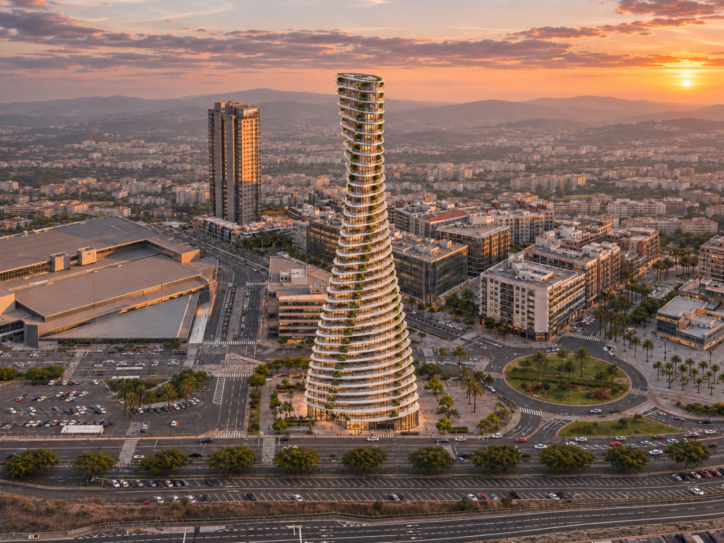
MORE THAN A SHAPE
Search for an address, coordinates or cadastral reference in Spain. Bring together the plot, its surroundings, IGN terrain data and PNOA orthophotography to give your idea a setting.
Adjust streets, blocks, plots and buildings. Review the areas, dwelling counts and density calculated in the model.
Draw alignments, roundabouts and junctions. Adjust their parameters and review profiles, cross-sections and earthworks.
Create curves and outlines in plan, move their vertices and change parameters while watching the result in 3D.
Connect your own ChatGPT or Claude. Prepare your request in Parametric and chat with your assistant to work on the model.
Save your editable design, download images and 3D models, and prepare drawings and exchange files for your roads.
OPEN. CHANGE. DISCOVER.
Explore the featured examples and continue with these ideas. Each model opens in Parametric so you can work on it.
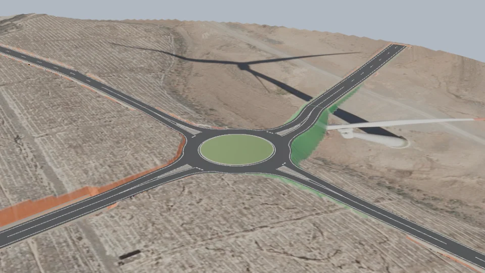
Draw on the terrain. Review the profile and cross-sections.
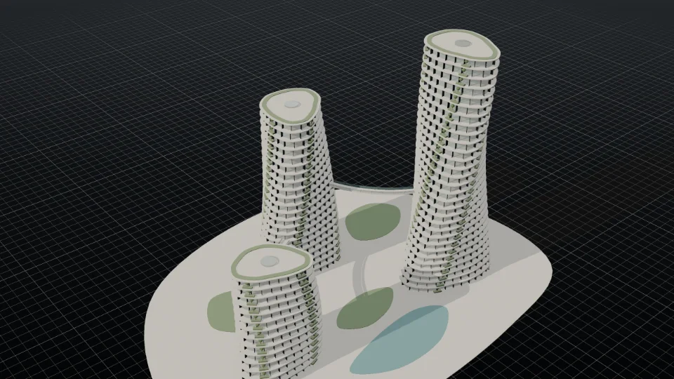
Combine buildings, open spaces and paths.
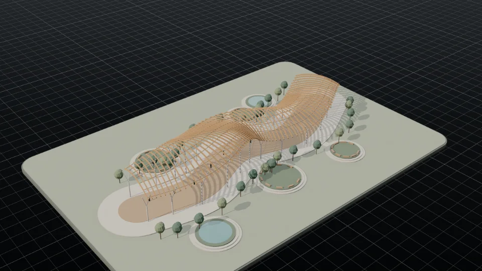
Explore the landscape through connected curves and forms.
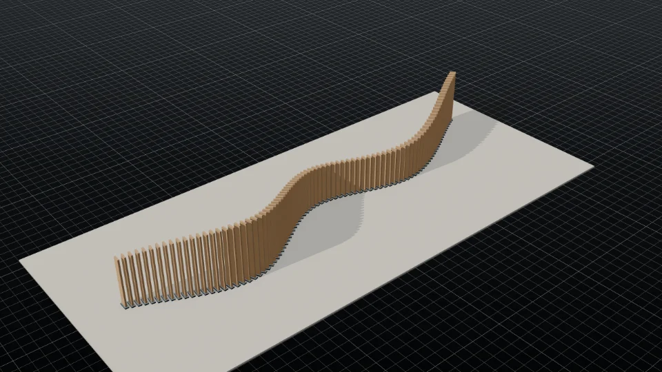
Change the rhythm of a surface through its parameters.
AT YOUR OWN PACE
Open an example or load a real site with your free account.
Work in plan, adjust the controls or ask your agent for the next step.
Check the result, use the edit history and download your work.
BEFORE YOU START
The beta is free. Start with the examples and create your account when you want to go further.
Try ParametricThe Parametric beta and your Vectoria account are free. If you connect ChatGPT or Claude, your provider's terms and limits apply.
You can explore examples, follow the guided tour, design on the Juan Grande sample site and download PNG images without an account. A free account lets you load other sites, download files and drawings, and connect your agent.
You can work manually with the controls and plan tools. If you choose an agent, connect your own ChatGPT or Claude through MCP and chat in that assistant while keeping Parametric open. The usual connection is remote, so you do not need to install a connector.
Your editable design as a .vparam file, the 3D model as GLB and PNG screenshots. For roads, you can also download A3 PDF drawings, SVG plans, profiles and cross-sections, and georeferenced LandXML to continue in Vectoria Civil. Save your .vparam file to keep your work outside the browser.
Real sites use public data sources from Spain. The separate cadastral services of the Basque Country and Navarre are not integrated yet. Heights of surrounding buildings are estimated from their number of storeys; the data does not replace a topographic survey.
Parametric produces conceptual designs. Its checks and measurements do not certify regulatory compliance or replace review and sign-off by a qualified professional.

YOUR NEXT IDEA
Open a model. Draw a line. Ask your agent.
Start for free